Preface
Being an aerospace specialist suggests solid knowledge and regular practical training. I applied lot of efforts for this, studying math, RF communications etc., same time with practical applications (for example, practical satcom tests via USB SDR, self-made antennas and self-made trajectory calculations software).
But if you want to name yourself a navigator, you must know more than written in the internet and in textbooks. Art of the true navigator suggests ability to find ways anywhere and everywhere.
Following this logic, true astrogator must be able to navigate anywhere, even with very basic tools. Solidly navigate in zero-landmark areas, using only knowledge and tools available – that was the goal.
But how to set up a drill for this?
On P-47 around the Pole
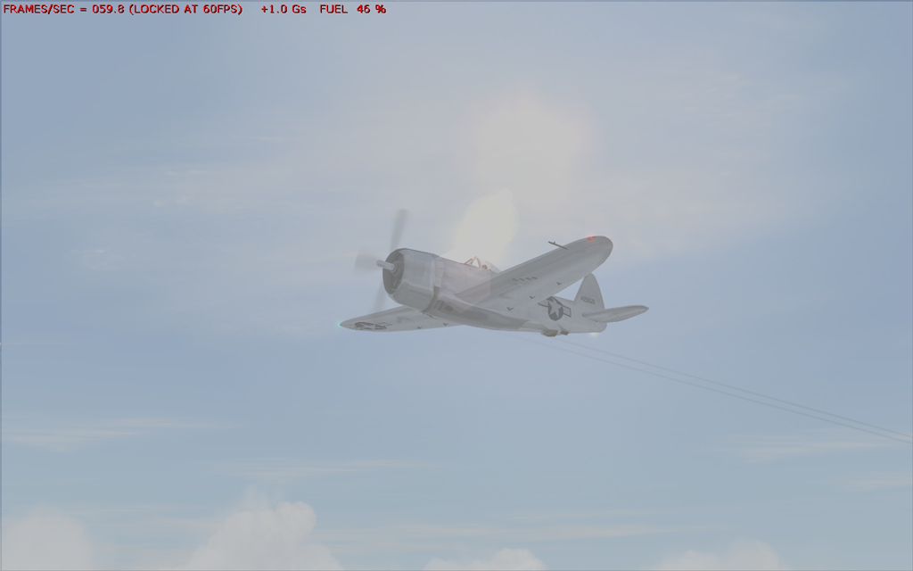
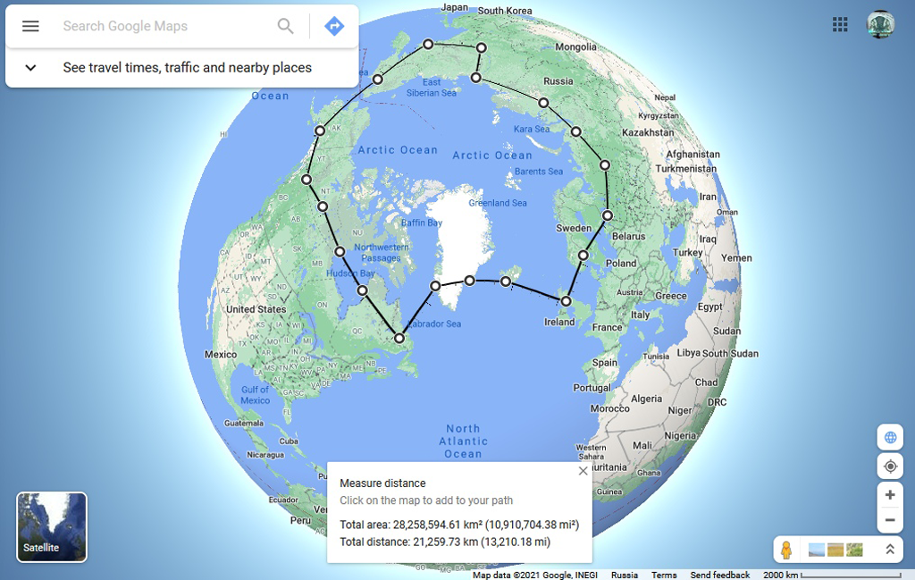
The answer was long-range flight in flight simulator MSFS 2004. Together with my friend Anna Apalkova (and with taciturn support of my cat Vasiliy)I did a virtual circumpolar flight by the route St. Petersburg – Syktyvkar – Salekhard – Norilsk – Tiksi – Yakutsk – Magadan – Anadyr – Ancorage – Watson lake – Yellowknife – Arviat – Inukjuak – Goose bay – Nuuk –
Kulusuk – Reykjavik – Glasgow – Oslo – St. Petersburg. Approximate range of flight was about 21260 km (11480 nmi). Total range was longer, because not everywhere we followed the shortest path.
Special rules
To achieve goals of the drill we decided not to use simulated GPS receivers.
Additionally, we decided not to use save/load mechanics. Saves of simulation was made only to protect training process from external factors (i.e., crashes of simulation app, electric power failures, etc.) Simulation sessions could be finished only after finishing stages of flight (on the airfields, after landing)
In case of our critical mistake (i.e. for example in case of crash landing or serious damage which expedition crew would not be able to fix), we decide to treat the expedition failed.
Key results
Expedition was finished successful.
During this training I:
- Deeply studied methods of celestial navigation, including methods of applied astronomy, astrometry, spherical geometry and trigonometry.
- Studied fundamentals of physical geography and geodynamics (especially in the domain of geomagnetism)
- Studied fundamentals of aerial navigation
- Studied basic and advanced methods of RF navigation
- Deeply studied architecture of flight simulation software
Basing on gathered knowledge, I:
- Developed set of add-ons for used simulator, allows to utilize methods of celestial navigation in simulation.
- Developed suite of Python-based navigation apps, allows to determine geographical position by methods of celestial navigation.
Using this software, I am able:
- to determine geographical position utilizing celestial navigation methods
- IRL (utilizing sextant app for Android) – with RMS error about 0.5 nmi (best results – within 200 m).
- In simulation – with RMS error about 5 nmi.
- to determine magnetic declination with precision about 1.0 degree.
- to plot shortest path within two points on the sphere.
- to guide aircraft to a target without using ground landmarks or navigation sources on distances up to 1000 km, reaching the circle of 50 km from target position.
You can get more information about the flight from the report (in Russian), attached to this article.